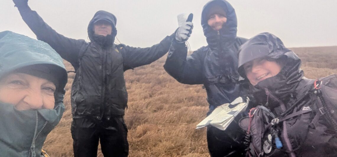
You have completed your training, logged your days in the hills and now all that’s left is the assessment! Your training equipped you with the practical skills, knowledge, and judgement you’ll need to be successful on your three day HML assessment. It includes the key areas of the syllabus, it’s up to you to consolidate
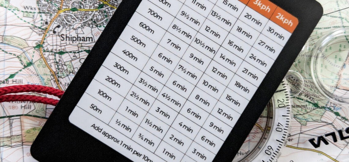
In this video Ruth shows us how to measure Distance using the compass romer and timings using Naismith’s rule.
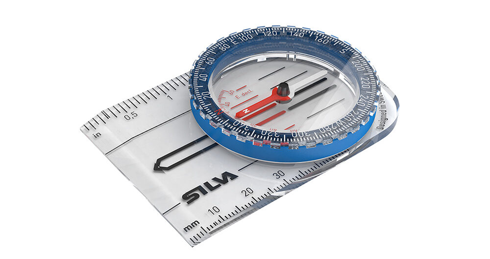
In this video Lisa give a quick explanation on the difference between a Quick Bearing vs a Full Bearing and when to use them.
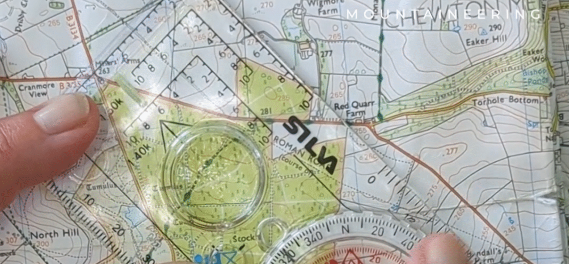
In this video Lisa explains how to take a Full Bearing using a map and compass.
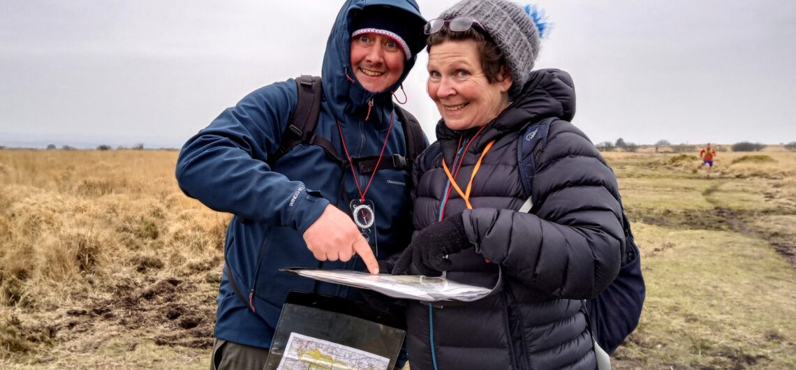
In this video, Ruth demonstrates how to take a quick bearing. This technique is used when you need to make a quick decision on which linear feature to follow. This is a common technique for fell running and orienteering races.
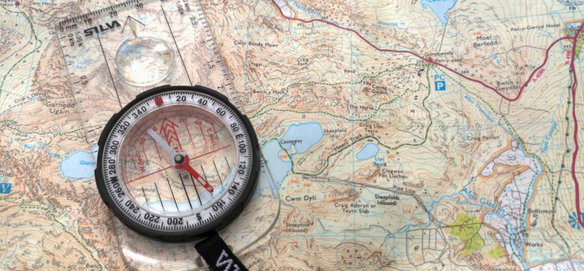
How to orientate your map to the ground using a map and compass. In this video Lisa explains this fundamental navigation skill. To practice this and other Navigational skills check our our Navigation Courses
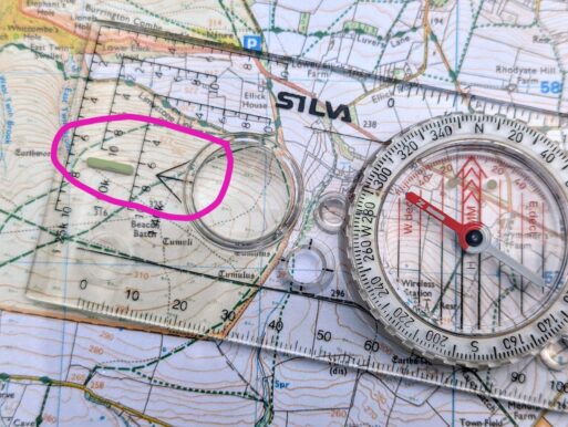
The following steps outline how to take an accurate compass bearing on a map. 1 – Place your map on a flat surface where possible. 2 – Identify on the map the path or direction you would like to travel on. 3 – Put
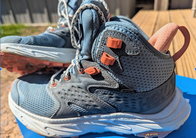
I’m gearing up for a long point-to-point walk this summer over mixed terrain, so I needed a boot that could go the distance, comfortably. Hoka’s usually known for its running shoes, but this boot is marketed as a “versatile hiker designed to tread lighter.” Sounds promising, right? In-store, I had to size up, but once

Lisa has recently completed the Bannau Brycheiniog Ambassador Course, launched in 2022. It is an incredible, online course designed to provide a better insight into the National Park. It covers topics such as history, geology, myths, legends and tourism. Each section is neatly delivered in bite size pieces with a quiz at the end which
The Mountain Weather Information Service (MWIS) is a UK-based service that provides detailed weather forecasts specifically tailored to mountainous regions. It aims to assist mountaineers, hill walkers, climbers, and other outdoor enthusiasts in making informed decisions about their activities in the mountains. MWIS offers forecasts for these 10 major mountain areas across the UK, in
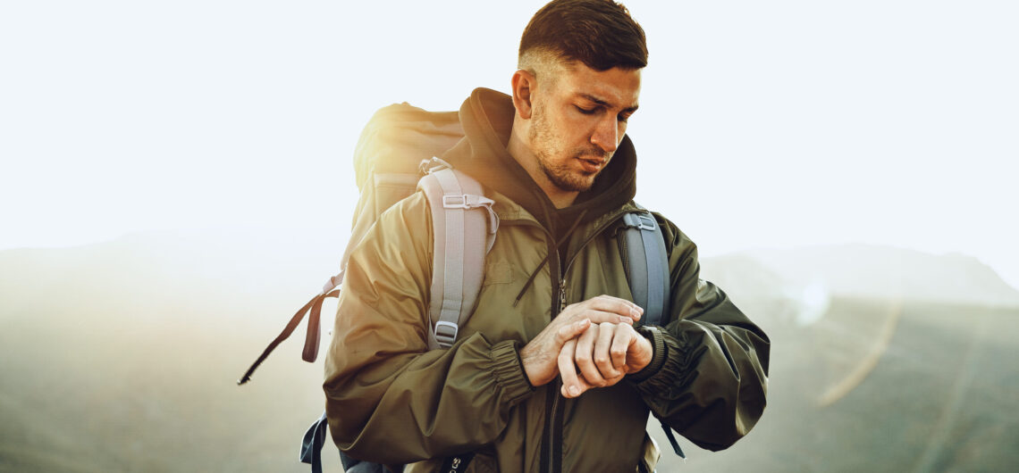
Arranging a check-in ensures that someone is aware of your plans and can take appropriate action if you fail to return on time. When you are participating in an adventurous activity, for example hiking, running or paddle boarding, arranging a check-in is a responsible and safety-conscious practice. This becomes even more vital if you are
This video shows you how to export a gpx file from an activity you have recorded using Outdoor Active and then importing it into Mountain Training’s Dlog. This work flow can greatly speed up your record keeping and keep your records accurate in your Dlog. Step 1. Login to your outdoor active account: https://www.outdooractive.com/en/ Step
So why do we need to learn the skills of navigation using a map and compass? GPS is becoming more advanced and accurate, so is using a map and compass becoming obsolete? GPS, and the many apps we can download to help us route plan and navigate, can be a welcome aid when venturing out
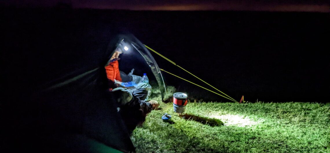
Review : Terra Nova Laser Compact 2 I have spent 20 years living in Spain, adventuring in Europe, climbing mountains, walking old mule tracks, scrambling up hills and bouldering huge sandstone rock. On overnight adventures I have simply hunkered down in my sleeping bag and slipped inside a bivvy bag, I rarely had the need
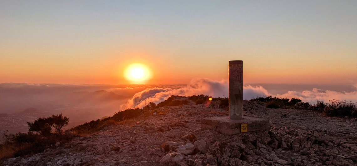
For me the hills and mountains are my sanctuary, a place to be happy, to achieve, to celebrate life. It’s where I go when I can’t see clearly, when I am lost and don’t know which way to turn, they are my escape, my salvation. They have seen me at my worst and my best.
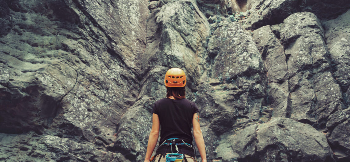
We have run women’s only courses and events for over 25 years. The conversation has evolved, so we ask ourselves is it still ‘relevant’ to continue to run women’s only courses? The outdoor industry historically has been heavily dominated by and tailored for men, thankfully, this is now changing, slowly, however women are still the
The BB Ultra is a point to point 55km ultra mountain marathon crossing of the Brecon Beacons National Park, taking all of the main summits and ridge lines. This stunning route has over 2800m of ascent and is self navigated. All transport and logistics are included. Route heads from West to East across Brecon Beacons,